
Professional Cinematic Aerial Video
We create stunning aerial visuals for marketing, events, real estate, and tourism campaigns. From smooth cinematic shots to dynamic tracking angles, our professional pilots deliver breathtaking results every time.
Start Project Start Project Start Project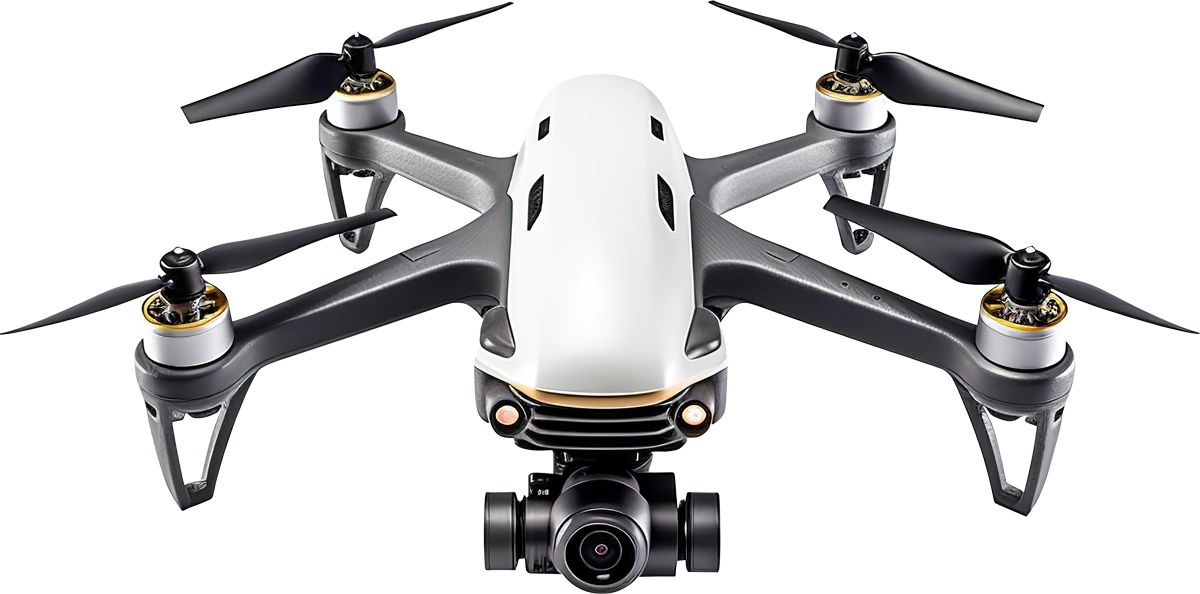
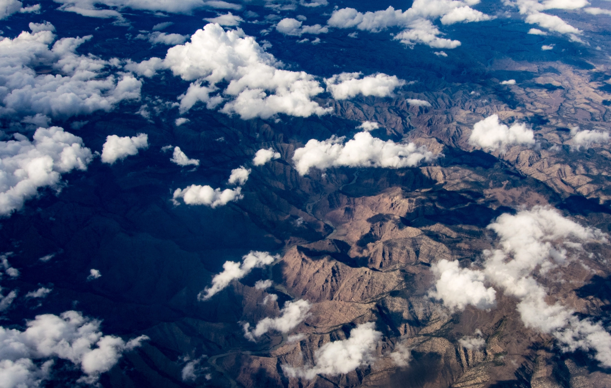
Precision Aerial Mapping & Inspection
We deliver accurate aerial data using advanced drone technology for surveying, mapping, and infrastructure inspection. Whether for construction, agriculture, or asset monitoring, we capture every detail safely and efficiently.
Request Flight Request Flight Request Flight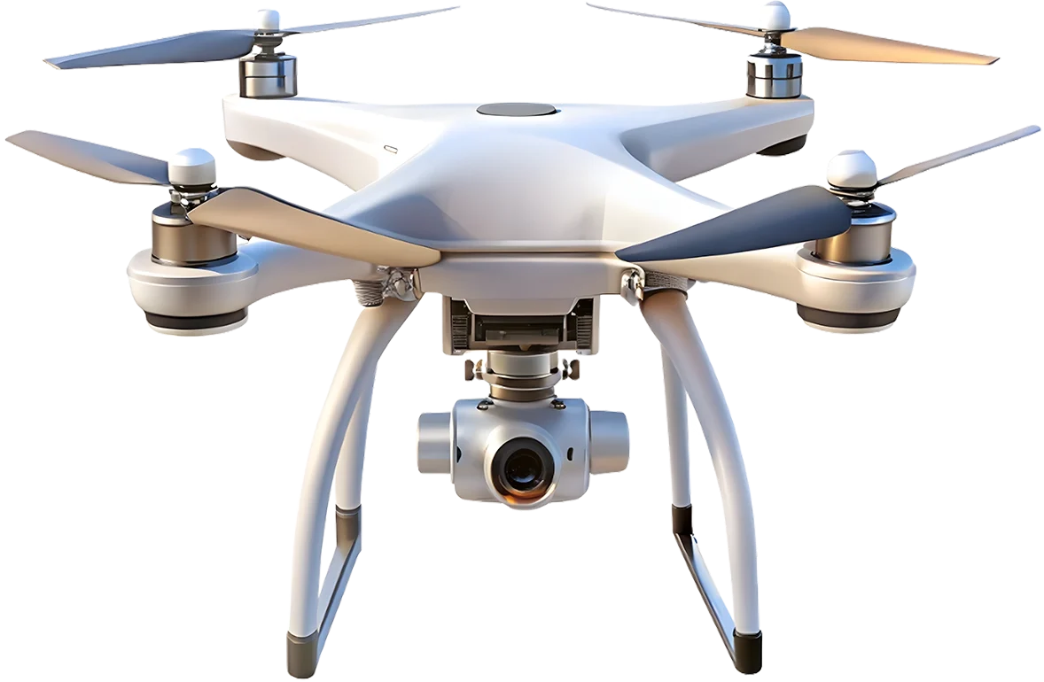

4K Stabilized Camera
4K resolution with 3-axis gimbal for smooth video.
Brushless Motors
Efficient, quiet motors for powerful, reliable flight.
Carbon Fiber Frame
Lightweight, strong carbon fiber for stability.
GPS Assisted Navigation
HiPrecise GPS for stable hovering and auto return.

Ryan Carter

Olivia Stone

Daniel Brooks

Sophia Turner

Michael Reed

Ethan Walker
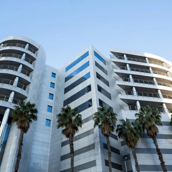
Real Estate
Id commodo non consequat labore incididunt labore cillum dolor anim magna esse ex minim proident sint dolor exercitation ad.

Construction
Id commodo non consequat labore incididunt labore cillum dolor anim magna esse ex minim proident sint dolor exercitation ad.

Agriculture
Id commodo non consequat labore incididunt labore cillum dolor anim magna esse ex minim proident sint dolor exercitation ad.
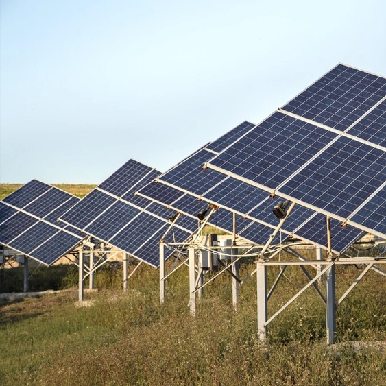
Energy
Id commodo non consequat labore incididunt labore cillum dolor anim magna esse ex minim proident sint dolor exercitation ad.

Advertising
Id commodo non consequat labore incididunt labore cillum dolor anim magna esse ex minim proident sint dolor exercitation ad.
Public Safety
Id commodo non consequat labore incididunt labore cillum dolor anim magna esse ex minim proident sint dolor exercitation ad.